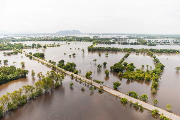
More than 6 million properties in the UK could go underwater by 2050 due to the threat of flooding, according to a report by the UK Environment Agency (EA).
The report said that 6.3 million properties across England are located in areas at risk of flooding. The new National Flood Risk Assessment (NaFRA) provides a unified and updated picture of the current and likely future flood outlook for the UK. This is the first update to the NaFRA since 2018.
Around 4.6 million of these properties are in areas at risk of surface water flooding. There is so much rainwater there that drainage systems overflow, causing surface water run-off and consequent flooding. This is a 43 per cent increase on the Environment Agency’s previous estimate. Around 2.4 million properties are also in areas at risk of river and sea flooding.
These changes are almost entirely due to significant improvements in Environment Agency data, modelling and the use of technology to provide more accurate assessments of surface water flood risk. If recent climate projections are taken into account, one in four properties in the country could be in flood-prone areas by mid-century, Julie Foley, director of flood risk management strategy at the Environment Agency, said.
The report said the data provided should be used by authorities to plan flood defence measures and by developers when choosing where to build new properties.
Storm Dara hit Wales and south-west England in early December 2024. Parks, roads and playgrounds were flooded, and some bridges were partially submerged. Local residents travelled through the streets in boats or knee-deep or even waist-deep in water. Roads in different parts of the country were blocked due to the disaster.
In London’s Heathrow Airport more than 100 flights were cancelled, flights were also cancelled in other cities. The cable car across the Thames was also closed for a while, and the railway service was disrupted.
